


While writing for Aero Crew News, I’ve shared commentary about various specific “breeds” of thunderstorms. While they differ from one another in many ways, they all share one commonality: We should avoid them while flying an airplane, and avoid them by a wide berth. This month, I will dabble in the description of another wicked spawn of thunderstorms, Gustnadoes. Add these thunderstorm off-spring to the bevy of reasons we stay far away from thunderstorms.
First, a word from our ‘sponsor’, tornados
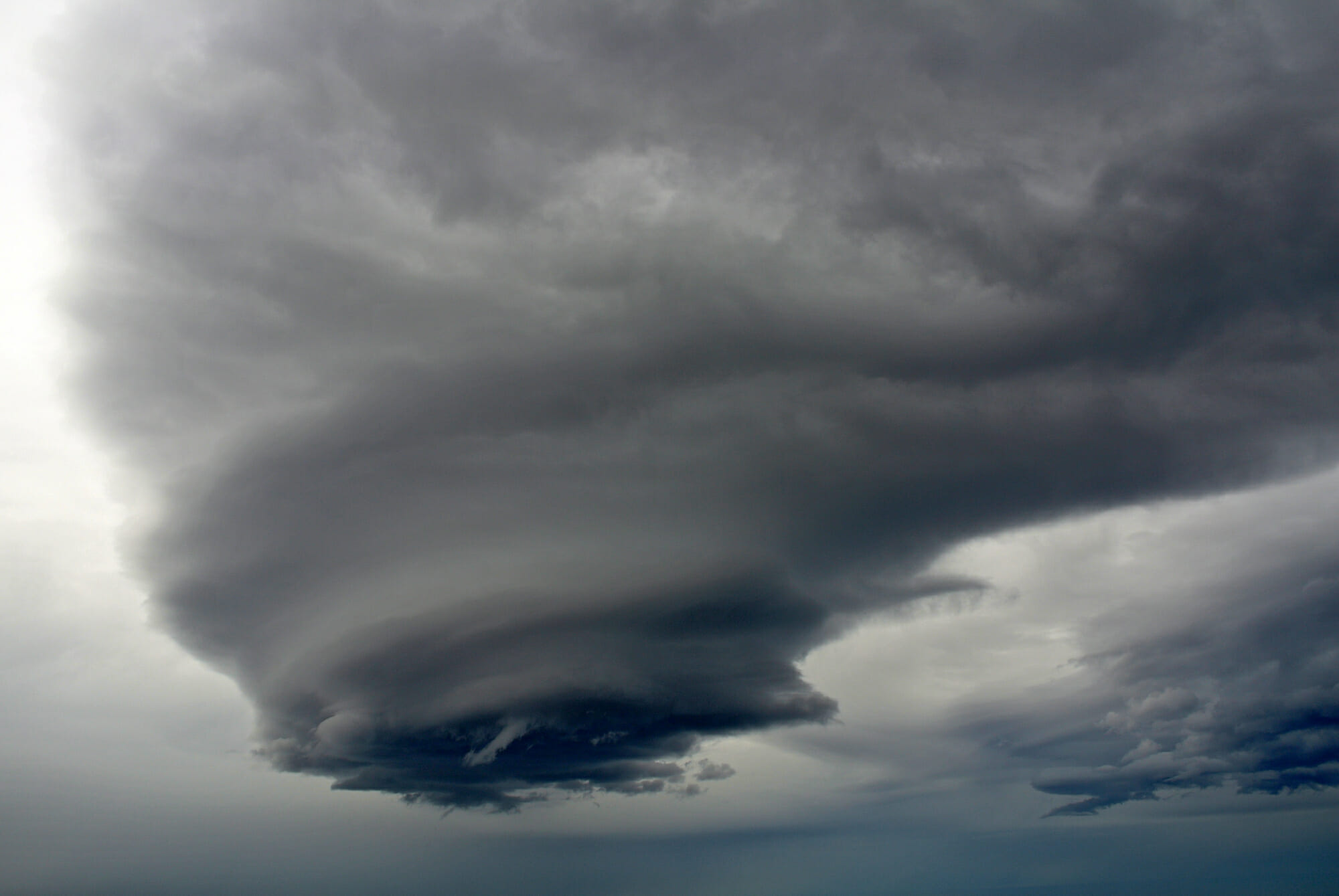
Tornados come from a very specific and special kind of thunderstorm. A mesocyclone (synonymous with supercell) is the atmospheric culprit behind the formation of tornados. These kinds of thunderstorms possess numerous atmospheric dynamics which combine to form tornados in their most pure form. This said, many other kinds of funnels and vortices can emanate from thunderstorms not of the mesocyclone variety. When a funnel or other cloud with twisting motion comes from anything but a mesocyclone it is NOT a tornado. But for an airplane, it should be considered no less hazardous. One such funnel or vortex is the gustando.
A wide berth


There are many company-specific operational guidelines for pilots when conducting takeoff and landings when thunderstorms are present. These guidelines often focus on the potential for windshear (W/S) in the vicinity of convection. Outflow winds often extend well beyond the footprint (radar and cloud) of thunderstorms. Outflow winds often lead to windshear, and you guessed it, gustnadoes. While we are more accustomed to being alert for W/S outside the footprint of thunderstorms, my reason for writing this article is so that we learn to be alert for gustnadoes as well!
Simply, a gustnado is a whirlwind or vortex that is divorced from the parent thunderstorm. Said another way; whereas a tornado is very much connected to its parent thunderstorm, a defining aspect of a gustnado is that it is not connected to its parent.
The following description was taken from a National Weather Service report: (https://www.weather.gov/mhx/Apr262019gustnado).
A gustnado is a relatively small whirlwind which forms as an eddy in thunderstorm outflows. They do not connect with any cloud-based rotation and are not tornadoes. Since their origin is associated with cumuliform clouds, gustnadoes will be classified as thunderstorm wind events. Gustnadoes form due to non-tornadic, straight-line wind features in the downdraft (outflow), specifically within the gust front of strong thunderstorms. Gustnadoes tend to be noticed when the vortices loft sufficient debris or form condensation clouds to be visible, although it is the wind that makes the gustnado, similarly to tornadoes. Gustnadoes do not have anything in common with tornadoes structurally or dynamically in regard to vertical development, intensity, longevity, or formative process, as tornadoes are associated with mesocyclones within the inflow (updraft) of the storm, and not the outflow.
April 26, 2019 Gustnado Hits Hyde County (weather.gov)
Another reason to avoid thunderstorms
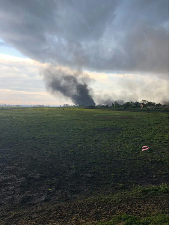
Gustnadoes do not come with the same signature as a tornado. For this reason and others, recognition can be difficult. They can often be embedded in precipitation, for example. Couple this with their less pronounced (lack of visual cues) look when compared to a tornado and what looks like nothing or harmless scud, could be a lethal phenomenon.
In closing
In a sense, when it comes to flying, thunderstorm discussions are easy to have. Don’t. As you know however, life is rarely that simple. We have all found ourselves, at one time or another, threading the needle and will no doubt do so in the future. Having additional knowledge about less recognizable and less discussed hazards to thunderstorm flying can add a greater layer of safety to everyone’s flying.


