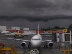
As we approach the much anticipated warmer summer months we must shift our threat analysis to another category of weather phenomena. Summer brings with it a slew of weather that has the power to increase our workload at best, and threaten flight safety at worst. If not understood and given appropriate respect, this weather can put us in dangerous situations. Studying the underlying causes of these phenomena allows us to both better predict the occurrence of certain events and better interpret the weather reports and forecasts that we use. Hail in particular is a summer weather event that requires extra attention, as it has the ability to form quickly, impart significant damage, and affect aircraft far from its source.
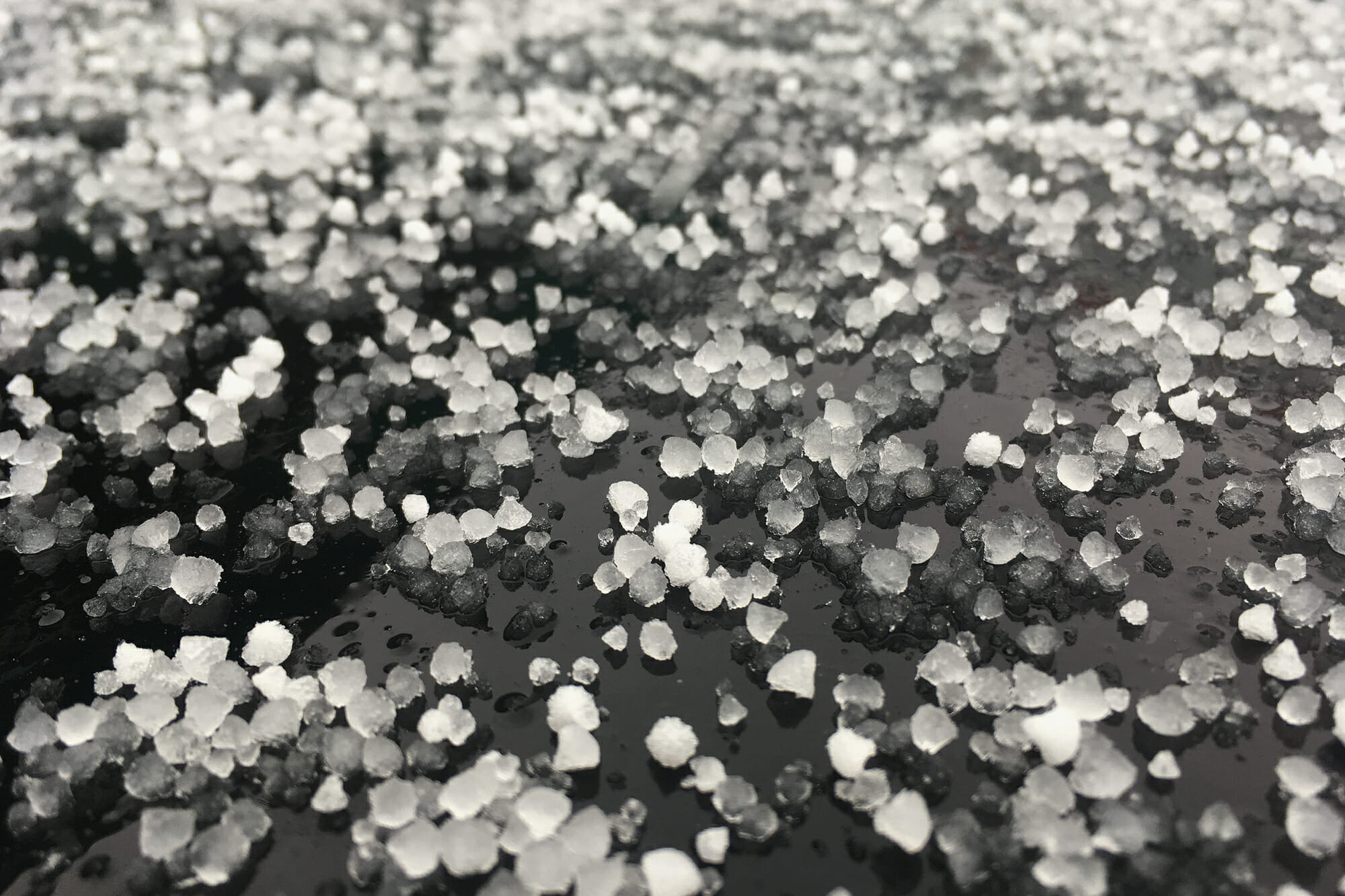
Hail is a type of precipitation that forms when water droplets are carried upward into very cold areas of the atmosphere via thunderstorm updrafts. The droplets freeze and become small hailstones, which will continue to grow as they collide with supercooled water droplets. A water droplet is supercooled if it exists as a liquid while the surrounding air is below freezing, and will normally freeze on contact with another object. The appearance of hail depends mostly on the temperature of the surrounding air when the collisions take place. Wet growth occurs when the surrounding air temperature is below freezing, but not too cold. During this type of growth, a collision results in the slow freezing of a water droplet around the hailstone. Because the freezing process occurs slowly, air bubbles are able to escape and the new, slightly larger hailstone will appear as a clear layer of ice. On the other hand, dry growth formation occurs in air temperature that is significantly below freezing. If hail forms via dry growth, a supercooled drop will freeze almost instantly on the hailstone causing air bubbles to remain trapped inside, resulting in a milky, opaque appearance.
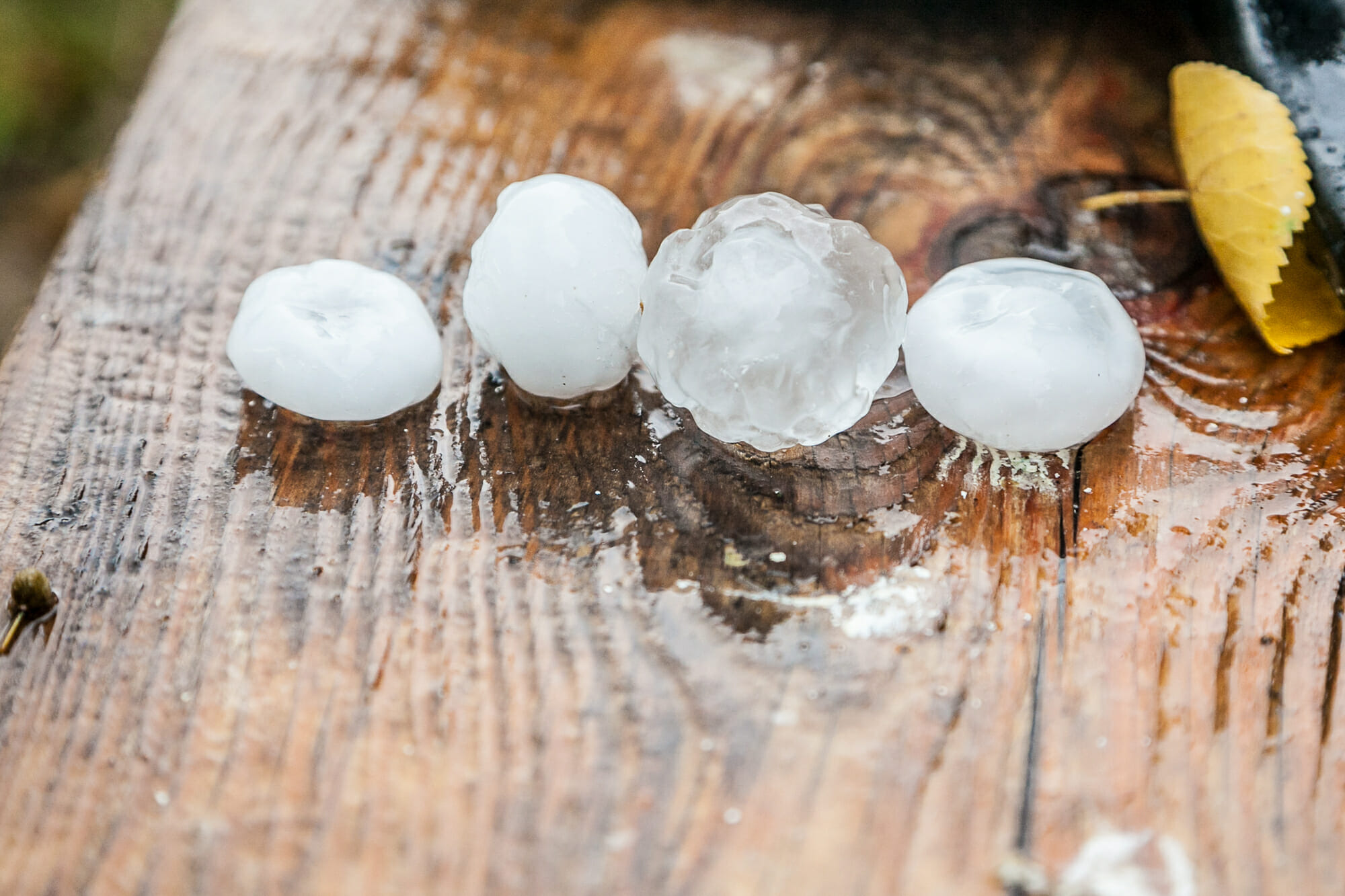
(This figure shows the different opaqueness that can occur in hailstones)
Hailstone formation is a process that may be repeated numerous times during a thunderstorm. Depending on the complexity and strength of a thunderstorm’s updrafts and downdrafts, a hailstone may be lifted, collide with supercooled droplets, and fall several times, with each repetition resulting in greater hailstone mass. Ultimately, hail will fall to the ground when it either becomes too heavy for the updrafts to maintain, or the updrafts lose strength and can no longer support the hail. The reporting of hail on METARs changed a few years ago, and now only one abbreviation, “GR”, is used to identify hail. When reported, the remarks section will indicate the size of the hailstones in quarter inch increments.

The immediate dangers of hail are not terribly surprising. Impact with aircraft, whether on the ground or in flight, can cause damage to windshields, radomes, and other parts of the aircraft body. Our weather theory studies and publications provide guidance on how to avoid the dangers of hail, which in reality is the same as guidance on thunderstorm avoidance. Depending on altitude, it may be recommended that aircraft remain more than 20 miles from thunderstorms due to a storm’s ability to launch hail at surprisingly great distances. When the need arises to fly around a thunderstorm, it is recommended to avoid flying on the downwind side, again due to the wind’s ability to help transport hail. If flying with airborne radar systems, be sure to learn the specific system’s limitations as well as its advantages and disadvantages. A general rule is that the radar returns from wet hail will be stronger than those from dry hail because wet hail, like rain and wet snow, is more reflective than dry hail or dry snow.
Hail is something that we would all much rather read about than experience first-hand. Though knowledge on its formation and avoidance procedures is important, it is very difficult to determine when and if a storm will produce hailstones. Like many aviation threats, the best thing to do is to assume that it is always present. Plan for every storm to create hail and take the proper precautions to limit your risk. The shift from managing winter weather threats to those of summer weather is not always an easy one, but with a mindset focused on continued learning, you can make each shift a bit smoother than the last.


