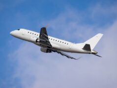
First, the good news: For many years prior to airborne radar technology, pilots safely navigated areas of convection. Fast forward to today, the advent of airborne radar technology has further enhanced their ability to avoid thunderstorms. Airplane occupants enjoy greater safety.
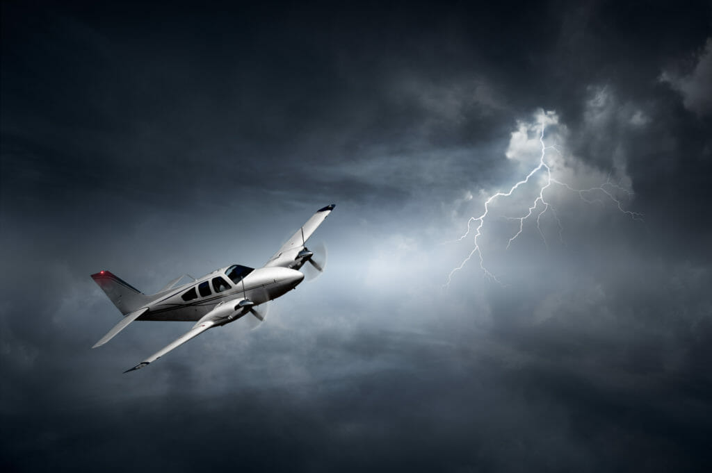
Now, the bad news: The lack of airborne weather radar can be attributed, at least in part, to many aircraft accidents. Since the introduction of airborne weather radar, accidents and inflight upsets have and will occur. Airplanes are still being claimed by convective weather; not just accidents but incidents too.
In my opinion, the best solution to solving this problem is that every airplane that flies in IMC should be equipped with some form of downlink/ADS-B weather. Given the range of weather that we Part 121-types fly in, this resource is especially necessary.
Airborne weather radar is the primary tool in avoiding, and arguably the best tool, for avoiding thunderstorms. The greatest benefit from airborne weather radar is that it provides information in real-time. But, it’s not infallible. It can be negatively impacted by:
- Operator error
- Reduced resolution at greater ranges
- Inability to see outside your scan
Another tool pilots use to avoid convective weather is Air Traffic Control, but here, there must be a strong caveat: Keeping you out of the weather is not the primary function of air traffic control. Preventing you from hitting other airplanes is their primary job.
Also, radar controllers work with different technological resources. Some Air traffic Controllers have available Terminal Doppler Weather Radar (TDWR) and others have Weather System Processors (WSP). I will address their technological differences in future columns.
What problems does downlinked weather radar solve?
Downlinked weather radar gives you the ability to access different radar images for purposes of interpretation and most importantly, to see radar returns that your radar cannot see. Generally your onboard radar cannot see past a certain range nor outside the sweep.
Range: A downlinked radar image provides enhanced ability to plan. With downlinked radar, you can watch the overall convective picture evolve. If you are able to see an extensive area of convection dissipate, you would likely formulate one game plan, but if you saw the area of weather intensify, your plan would be different. Because downlinked radar has an ability to see what your radar cannot, your in-flight efforts, planning and decision making are more informed. A downlinked radar image can show very well a trend in the overall area of convection. At best, an airborne weather radar does an extremely poor job of conveying trend information. This information provided by downlinked radar is of tremendous benefit to safety.
At greater range, all radars lose the ability to provide you with the requisite resolution to make good, safe maneuvers around weather. A downlinked radar image will give you the overall picture as to how hard you are going to work your onboard unit later. This will help your decision making. By observing the general trend of weather that downlinked radar can offer, your flight might be smoother. Even your fuel situation may be improved. To simplify, if a portion of your flight is about to be impacted by a colossal area of convection (A Mesoscale Convective Complex for example), a downlinked radar image is far more useful than onboard weather radar
Sweep: Have you ever been on deviations for weather and been asked to take a turn toward ___ ? If that direction is outside your onboard weather radar’s sweep, how can you answer that question? In this scenario, you have two options:
1. Tell ATC you do not know. Your radar is not pointed that way. Ask them what they think.
2. Confidently look at your downlinked radar image and assess the answer to that question.
If you do not have option two, you should let ATC know that if you take a turn, it comes with the caveat that you might not be able to hold it. Use ATC for weather avoidance, but always remember doing so should not be relied upon entirely. We know that keeping you out of the weather is not the controller’s primary job. It’s yours.
If you can choose option two, you’re looking good! You have the ability to see what your onboard radar cannot at that given moment. Your ability to consider the idea of turning in the prescribed direction that is beyond your radar’s sweep, combined with the ability to use the radar once you are aimed in the prescribed direction, makes things a lot safer, if you ask me.
In summary
In any kind of flying, decisions based on a single criterion are rare and too often are not the best decisions. You should be making decisions based on as many resources available. There is no denying that onboard weather radar can “save your bacon” (and does routinely). But, in my opinion, the final resource, the ‘icing on the cake’ regarding in-flight deviations, is ADS-B/Downlinked weather radar. Used in conjunction with our more common resources, ATC and airborne radar, downlinked radar provides a valid of view of what the other two resources cannot. It truly provides a view of what may be lurking around the corner.


