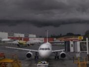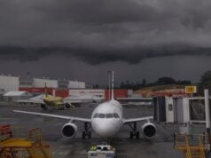
Thunderstorms are an essential part of the Earth’s weather system, but these storms are a significant hazard to aviation. In fact, thunderstorms harbor all aviation meteorological hazards except volcanic ash. Thunderstorms are associated with precipitation including hail, icing, lightning, microbursts, reduced visibility, turbulence, and windshear. The FAA’s recommendations in AC 00-24C includes avoiding thunderstorms “by at least 20 miles” and “circumnavigate the entire area if the area has 6/10 thunderstorm coverage”. Elaborating on the “6/10” rule, the exact location of new thunderstorm cells, the splitting and merging of thunderstorm cells, or shadows in airborne weather radars makes navigating around these environments non-trivial and compromises flight safety.
During the summer months in the southeastern United States, the readily available warm and moist air masses from the Gulf of Mexico and sea breeze circulation paves the way for frequent afternoon thunderstorms. When influenced by a larger synoptic-scale weather pattern, such as a front, we observe organized convective activity that persists for several hours.
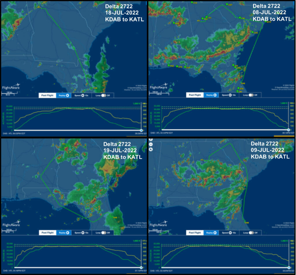
Let us further explore these thunderstorms by using Delta Air Lines flight DL2722 as a case study. DL2722 is typically operated round trip using a Boeing 737 from Hartsfield-Jackson Atlanta International (KATL) to Daytona Beach International (KDAB). This flight covers approximately 325 nm and lasts approximately 1hr.15min. Thunderstorms however, can significantly alter the routing and duration of this flight.
The four panel figure shows DL2722 from KDAB to KATL on four separate days. During routine operation in uneventful weather conditions such as on 18 July 2022, the route of flight follows the straight-line course closely. However, on 08, 09, or 19 July 2022, the total distance traveled by the aircraft is nearly doubled in order to circumnavigate well-organized convective systems. Thankfully, the strong safety cultures and training of Delta Air Lines and other Part 121 operations in the United States have successfully mitigated the risk of weather hazards.
Unfortunately, the same cannot be said about the General Aviation community, especially with the introduction of highly capable turboprop aircraft such as the PA-46, PC-12 or TBM 900. The crashes of N9143B involving a PA-46’ N3590T involving a PA-32, and N950KA involving a PC-12 are sobering reminders that there are no shortcuts to education, training, and the safety culture.
While onboard weather radar, ADS-B in, or DataLink weather have undoubtedly improved flight safety, knowing their limitations, settings and proper radar-display interpretation will help you avoid costly mistakes. A webinar on Garmin Airborne Weather Radar Fundamentals hosted by Sporty's Pilot Shop strongly recommends understanding your equipment, radar technology and practicing weather radar interpretation in VMC conditions. During VMC conditions, pilots may examine changes in the radar display by altering tilt, gain, ground clutter suppression, etc. This knowledge and insight may prove invaluable when navigating around thunderstorms during all phases of flight.


