






































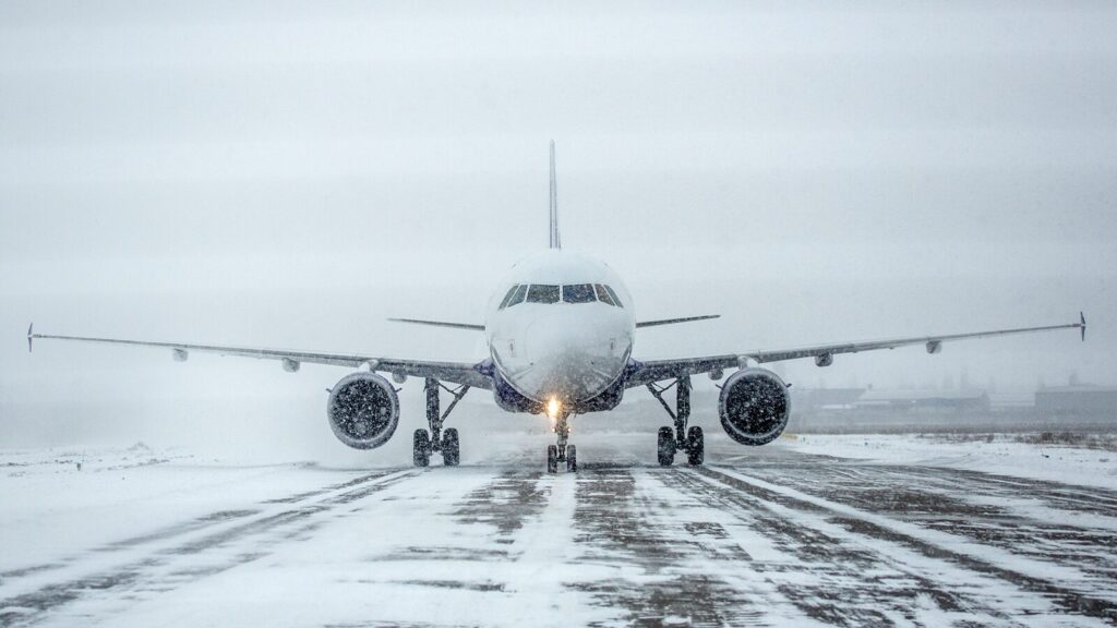
Freezing rain, drizzle, and fog are often misunderstood weather phenomena by pilots. As we transition into winter flying, these conditions pose a major threat to aircraft performance.
Freezing rain occurs when a layer of warm air aloft sits above sub-freezing surface temperatures. Snowflakes fall into this warm layer, melt into liquid raindrops, and then refreeze upon contact with cold surfaces. The result is a clear, dense glaze of ice that adheres tenaciously to aircraft surfaces. Freezing drizzle has a similar outcome, although it is harder to detect by radar. Ultimately, freezing fog can lead to ice forming on leading edges, probes, and inlets as the suspended water droplets become supercooled.
Adhesion of such moisture to sensors, probes, static ports, or inlets can lead to unreliable airspeed and altitude indications, or even power loss if formed on engine inlets. Hence, the importance of recognizing such weather phenomena by observing cues such as temperatures near 0°C, a surface dewpoint within a degree or two, and a shallow inversion layer.
Radar returns, as previously mentioned, may not be present. PIREPs become an invaluable tool for pilots, as other aircraft report real icing encounters. A thorough weather briefing must include temperature profiles, icing potential charts, and AIRMET Zulu areas. Consider alternate routes or altitudes to avoid warm layers over cold surfaces. An in-flight encounter must be addressed promptly by activating anti-ice systems as soon as practical—do not wait for accumulation. If icing intensifies, pilots should exit the conditions immediately: climb, descend, or turn toward known ice-free air. You may consider declaring an emergency with ATC to receive assistance, particularly when performance is compromised.
Inspecting the aircraft prior to flight requires all flight control and critical surfaces to be free of contaminants. Pilots should request Type I/IV de-icing and anti-icing fluids when in doubt and verify tactilely that critical surfaces are clean before takeoff. Be aware of fluid types and their respective holdover effectiveness times. The FAA publishes fluid holdover times for different precipitation types and intensities for each winter season. It is important to remember that holdover time begins at the start of the anti-ice operation. If a two-step process is used (such as when both Type I and Type IV fluids are applied), then the time begins at the start of the final anti-icing step.
Inherently winter operations involve additional threats and risks for pilots. Preparation starts with diligent preflight weather planning and aircraft inspection. Familiarity with the aircraft’s specific operating limitations is imperative. Not all aircraft are certified to operate in known icing conditions due to the absence of anti-icing and de-icing equipment. If your aircraft is certified for flight in known icing, take the necessary steps to prevent accretion and minimize aircraft performance degradation.